GPRS 3D Laser Scanning Services Overview
GPRS is a leading provider of 3D laser scanning services, helping clients to complete architecture, engineering, and construction projects with accurate as-built documentation. Once data is acquired, a point cloud is generated and used to develop 2D CAD drawings, 3D BIM models, 3D photogrammetry, and customized solutions to expedite design, planning, and development.
With GPRS, clients can rest assured that our elite Project Managers use state-of-the-art technology to deliver the most accurate site information. GPRS leads the industry – providing outstanding service and accurate as-built data to expedite decision making, reduce risks, and keep projects on schedule.
Featured 3D laser Scanning Services
As-Built Services
As-built documentation captures exact building dimensions and layout and is invaluable in design, construction, renovation, and facility modifications.
Point Clouds
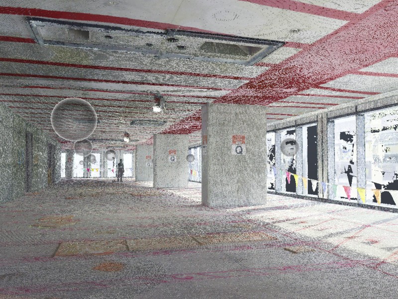
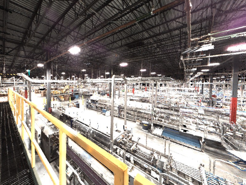
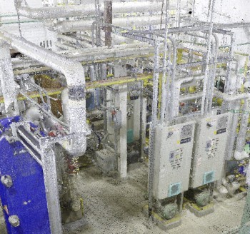
3D laser scan data is captured in the form of a point cloud and can be used to create 2D CAD drawings and 3D BIM models.
BIM Modeling
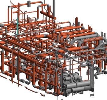
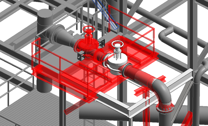
Intelligent 3D BIM models give AEC professionals insight and tools to more efficiently plan, construct, and manage buildings and infrastructure.
3D Photogrammetry
3D rendered images can be used to create virtual tours, floor plans, 3D models, and more for planning, analysis, and calculations.
2D CAD Drawings
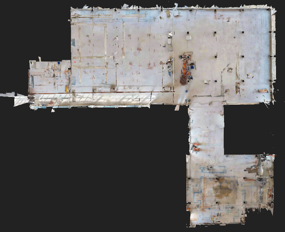
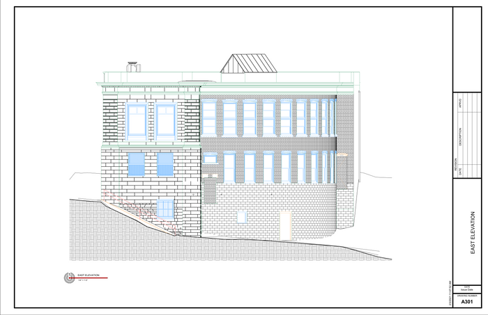
GPRS’ Mapping & Modeling Team can translate 3D laser data into 2D CAD drawings that provide your team with up-to-date plan views & record drawings.
Clash Detection
Laser scans capture 2 million data points per second and measure difficult to reach areas with 2-4mm accuracy to find and avoid clashes before they happen.
Design Build
3D laser scanning provides accurate as-built site data to help design-build projects move seamlessly through the design and construction process.
Drone Services
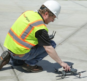
GPRS has FAA licensed pilots to aid in aerial video, building surveys, property surveys, and photogrammetry services.
Industries We Serve
- Construction
- Engineering
- Architecture
- Industrial Facilities
- Historical Preservation
- Agricultural Facilities
- Chemical and Petrochemical Plants
- Commercial Sites
- Government, Defense and Military Sector
- Healthcare and Pharmaceutical
- Manufacturing and Assembly Facilities
- Office Buildings
- Overhead Clearances
- Process Plants
- Power Plants
- Refineries
- Schools and Universities
- Stadiums and Theatres
- Space and Aeronautics
- Telecommunications
- Water and Wastewater Treatment Plants
- Mixed Reality, 3D Gaming and Software Development
Clients We Serve
- Architects
- Asset Managers
- Contractors
- Designers
- Developers
- Electrical Engineers
- Estimators
- Facility Owners
- Historical Preservationists
- Mechanical Engineers
- Project Managers
- Plumbing Engineers
- Sub-Contractors
- Structural Engineers
- 3D Gamers and Software Developers
- Virtual Design and Construction (VDC) Managers
Deliverables
- Point Cloud Data (Raw Data)
- 2D CAD Drawings
- 3D Non-Intelligent Models
- 3D BIM Models
- 3D Mesh
- TruView - photos overlaid on point cloud
- Fly-Thru's - 3D virtual tour of model
- Template Modeling
- Reconciliation of Clients 2D Drawings
- Reconciliation of Clients 3D Design Model
- Comparative Analysis
- Point Cloud Modeling Training Webinars
- Deviation / Deformation Analysis
- Floor Flatness Analysis / Contour Mapping
- Drawings / Analysis to Aid Prefabrication
- Volume Calculations
- Structural Steel Shape Probability Analysis
- Wall Plumb Analysis
- Tank Analysis
- Forensic Analysis
- Aerial Photogrammetry
- New Construction Verification
- Digital Drawings of GPR Marking
3D Laser Scanning Pricing
The cost of 3D laser scanning can vary widely depending on your project scope. GPRS customizes every quote specific to your project’s needs. GPRS Project Managers use 3D laser scanners to capture every detail of your site, delivering building dimensions, locations, and layout with millimeter accuracy. This can include the aboveground structural, architectural, and MEP features, plus underground utility and concrete markings. Our Mapping & Modeling Team can deliver point clouds, 2D CAD drawings, 3D BIM models, 3D Mesh models, TruViews, and Virtual Tours at any level of detail. For questions on 3D laser scanning services, contact us today at 419-843-7226 or Laser@gprsinc.com.
We’re currently offering 10-minute presentations – would you like to schedule one? Click here.

